A ‘Remarkably Good Real Estate Investment’
04 May 2020
Early history of Patriots Point
By Suzannah Smith Miles
On September 12, 1694, Landgrave Edmund Bellinger was granted 17 acres “on East side of Cooper River… commonly known by the name of Hogg Island, bounding North on Hogg Island Creek, south on Sullivants Creek and East and West upon a Marsh.”
Times change and so do names. “Sullivants Creek” is Shem Creek, then named for Captain Florence O’Sullivan who, at that time, owned most of this area of Mount Pleasant and for whom Sullivan’s Island is named.
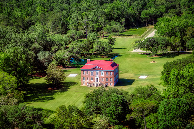
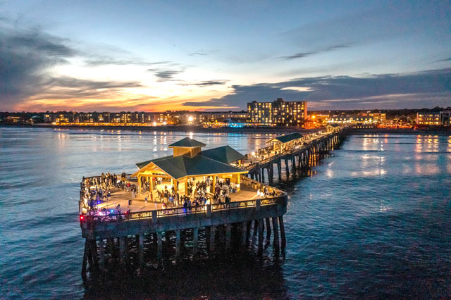
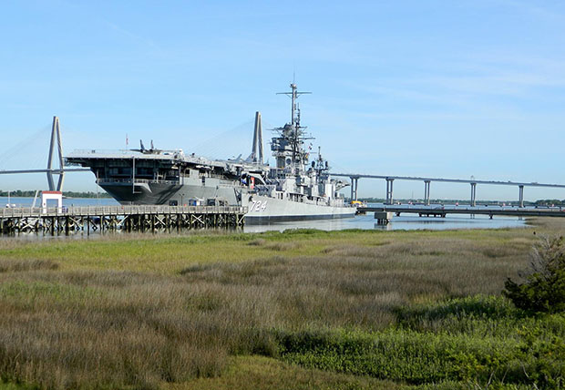
Today, we know this island as Patriots Point, the home of the U.S.S. Yorktown, a golf course, marina and hotels with outstanding harbor view. Yet in the early days, this was “Hogg Island” where the plantation called Mount Edgecombe boasted a “delightful wilderness” of shady arbors and fruit groves.
How the name “Hogg Island” came about is debatable. It very easily could have been named for hogs. Early colonists often used islands as holding places for livestock since there was no need for fencing. However, it just as likely could have been named for someone with the surname “Hogg.”
In fact, one of the earliest harbor pilots was Captain John Hogg. If he lived on the island, it would certainly have provided him and his boat superb access to the vessels entering and leaving the harbor. Unfortunately, records have yet to substantiate this.
Records do show that Hogg Island was a remarkably good real estate investment. By 1708, the property had been sold to Colonel Alexander Parris, the same man for whom Parris Island near Beaufort was named. Parris then sold the island in 1730 to Captain John Gascoigne of His Majesty’s frigate, “Alborough,” who renamed the island “Mount Edgecombe.”
As a man of the sea, Gascoigne may have named it for the English castle in Cornwall of the same name or for the bluff called Mount Edgecombe in Jamaica.
When Gascoigne offered the island for sale in I734, his advertisement gushed with praise for the island’s attributes. The location was ideal for a “careening wharf” or for a ferry, with “the creeks around it affording perfect security for Boats and Periaguas in the most Stormy Weather.” It also boasted of how the creeks abounded with “such a continual plenty of Fish… the Town may be constantly serv’d.”
The ad also gives us a wonderful description of what the island looked like then, with a new dwelling house “built on the high bluff which commands an entire prospect of the Harbour from the Barr to the town.” It goes on to describe the island as “a delightful wilderness with shady Walks and Arbors, cool in the hottest seasons. A piece of Garden-ground where all the best kinds of Fruit and Kitchen Greens are produced, and planted with Orange, Apple, Peach, Nectarine and Plumb trees capable of being made a very good Vineyard.”
After Gascoigne sold the island, the name “Mount Edgecombe” disappeared and Hogg Island reverted to its original name.
The island took on a new significance in the 1830s when it became home to Milton’s Ferry. The only way to cross the harbor at this time was by boat (the first bridge across the Cooper River wasn’t built until 1929) and ferries were of vital importance when it came to transporting people and livestock.
There had been ferries from other locations, most notably Hibben’s Ferry at Shem Creek and Lempriere’s Ferry from Remley’s Point. What Milton’s Ferry on Hogg Island offered was a more direct and faster passage.
What also made Milton’s Ferry unusual was its design. A large two-story inn and stable was built for travelers, located in about the same place as today’s Quality Inn (just off Coleman Boulevard at the entrance to Patriots Point).
To get to the harbor, a long, straight and deep canal was constructed which led from the inn to the harbor. Similar to the way the Erie Canal worked, the ferry boat was brought down the canal to the inn where travelers loaded or disembarked. This canal is now filled in by the edge of the golf course and Patriots Point Drive, but a part of it can still be seen just off Coleman Boulevard. In Charleston, the ferry connection was located in about the same area as today’s Aquarium in downtown Charleston. It was a straight shot across the harbor.
Today, the “high bluff” with its majestic view of the harbor is gone—as is the canal. In fact, for most of the last century, the island had eroded to such a point it was a shadow of its former self. While various hurricanes and storms caused some of this erosion, most of the alterations to the land were brought about by man-made events.
The first major change came with the building of Fort Sumter at the harbor entrance in the mid-1800s. This is an early lesson in the often destructive cause-and-effect that comes with building on coastal waters.
The fort was erected on what had originally been a shallow sand bar. By filling the bar in and making it solid “land,” the flow of water in and out of the harbor changed. This new man-made island not only caused severe erosion to the southern end of Sullivan’s Island, it also began washing away the white sandy beach that originally fronted Mount Pleasant’s harborside. Hogg Island was also fast losing ground.
Finally, in the 1930s, with the Santee-Cooer project and the rediversion of the Cooper River, the island literally began to disappear. It was only in the 1970s that the island began to grow again, this time as the recipient of harbor dredge fill. Ironically, the land which had been formerly lost to the bottom of the harbor was pumped back up and on shore again, creating the land we now call Patriots Point.